
Laguna Salada is an intermittent lake and salt flat in Baja California, Mexico, southwest of Mexicali. It lies between the Sierra de Juárez and Sierra Cucapá. Often the water is absent and the lakebed is exposed. The name means “salty lagoon”; this guide concerns the Mexican basin, not the lakes near Torrevieja in Spain.
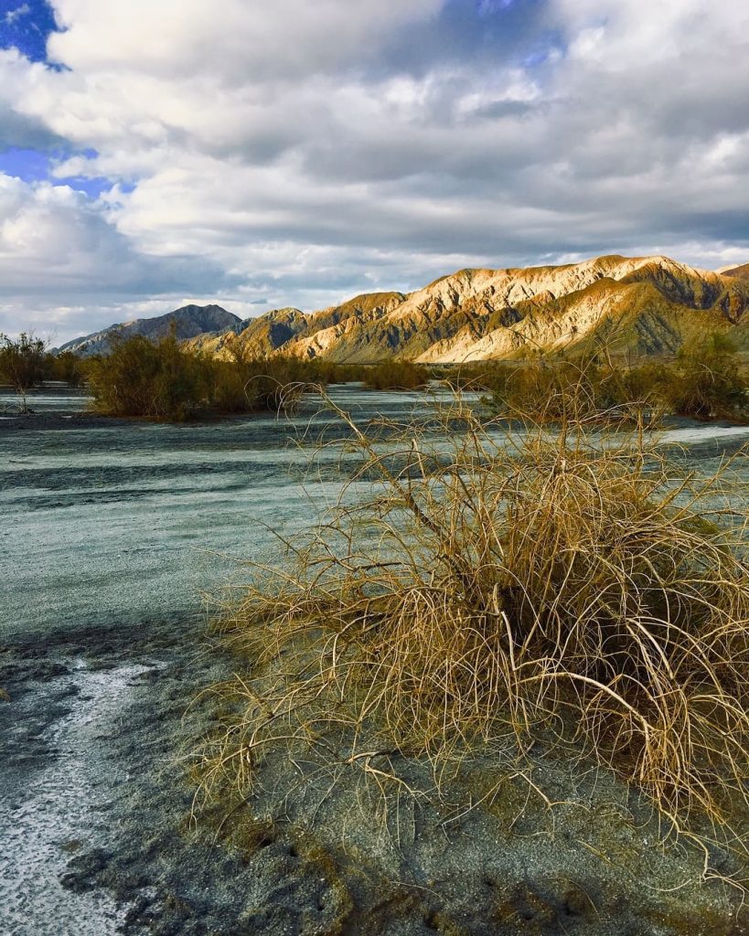
Wonderful panoramic views of Laguna Salada. Photo by @azzulmarinna 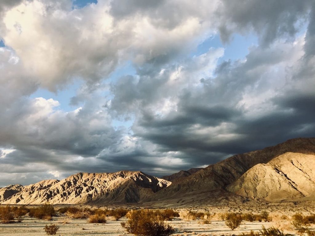
Wonderful panoramic views of Laguna Salada. Photo by @azzulmarinna 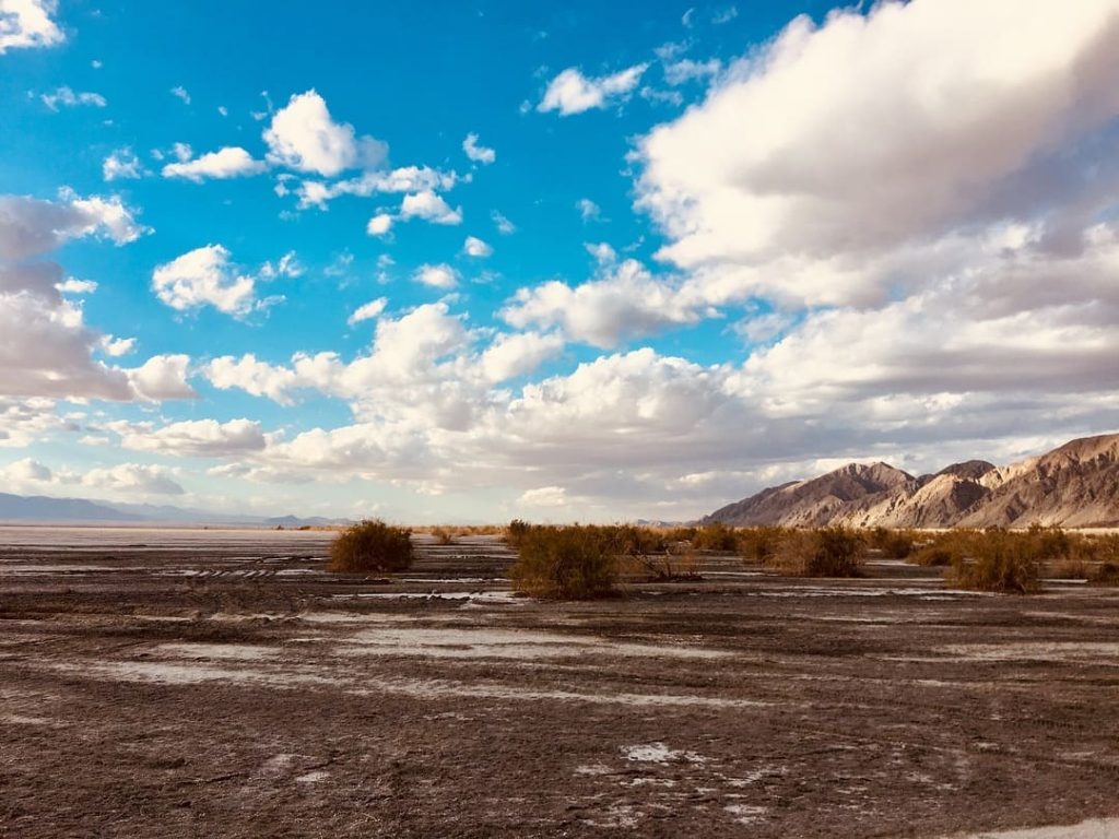
Wonderful panoramic views of Laguna Salada. Photo by @azzulmarinna 
Wonderful panoramic views of Laguna Salada. Photo by @azzulmarinna 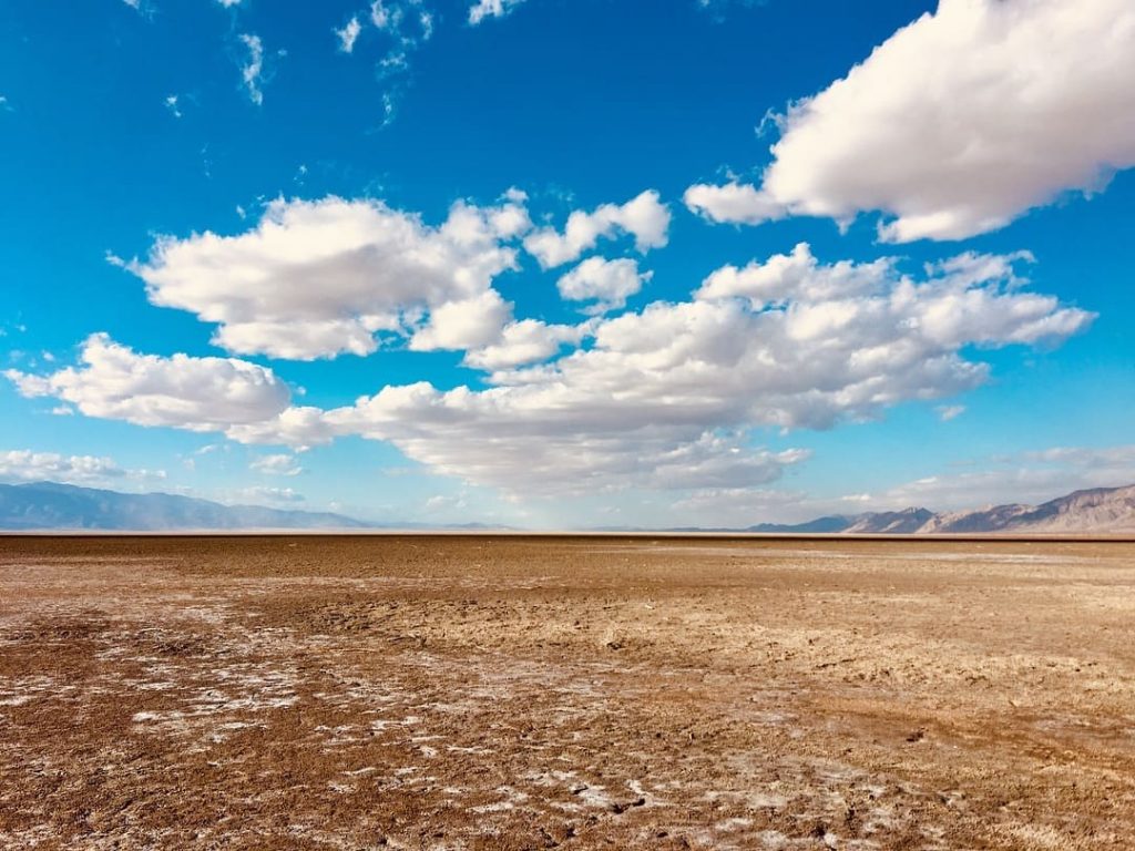
Laguna Salada photo archive. Photo by @azzulmarinna
Summer heat makes this a demanding place to explore. Baja California’s seasonal travel guide points visitors towards Laguna Salada during the cooler winter months. Check the forecast immediately before a trip: wind, recent rain and the condition of unpaved roads matter as much as the season.
The photographs below were already part of this guide in 2019. They show the landscape under different conditions, not a live view of the lake or a check that a particular track is passable today.
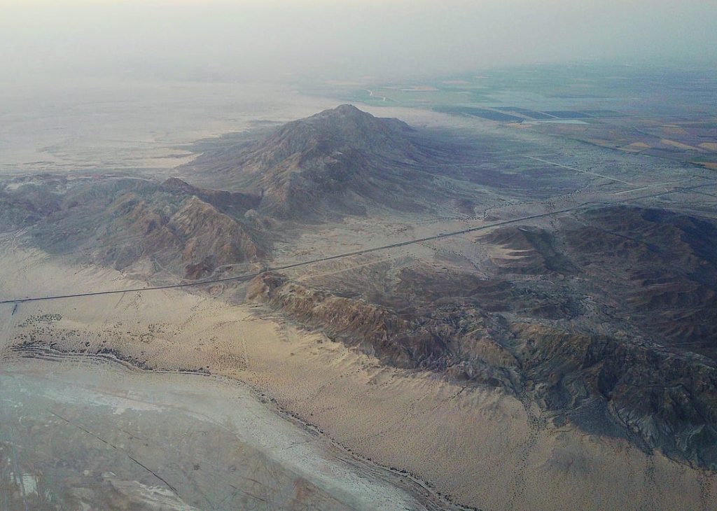
Aerial drone photo series of Laguna Salada by @santiago_arau 
Aerial drone photo series of Laguna Salada by @santiago_arau 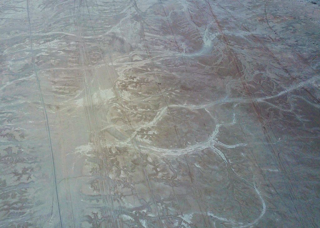
Aerial drone photo series of Laguna Salada by @santiago_arau 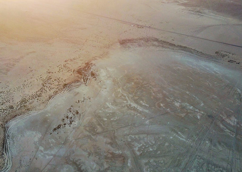
Aerial drone photo series of Laguna Salada by @santiago_arau
Size, water and elevation
| Type | Intermittent lake in a desert basin with no surface outlet |
|---|---|
| Location | Southwest of Mexicali, between Sierra de Juárez and Sierra Cucapá |
| Length | About 60 km in Baja California’s tourism description; the wider geological basin extends farther south |
| Elevation | Parts of the basin floor are roughly 10 m below sea level; this is land elevation, not water depth |
| Water coverage | Changes greatly between dry periods and floods; there is no fixed shoreline |
| Nearby excursion | Cañón de Guadalupe, a mountain oasis with hot springs |
The state tourism board describes a lake around 60 km long. A fixed coastline measurement is less useful: both the area of open water and the shape of the shore change with flooding and evaporation.
A dry lake on a major fault
Movement on faults helped form this low basin. University of Oregon field research describes a pull-apart basin, where fault movement lets part of the ground sink between mountain ranges. The Laguna Salada Fault bounds its northeastern side. The wider region experienced the magnitude-7.2 Sierra El Mayor earthquake on 4 April 2010. USGS describes a complex rupture within the plate-boundary zone; it should not be reduced to a single crack along the lake shore.
The Cucapá and the Cañón de Guadalupe
The Cucapá have a long history in the lower Colorado River region, including fishing during wetter periods in the basin. On the western side, Cañón de Guadalupe offers a different landscape: palms, rock pools and natural hot springs in the Sierra de Juárez. Camping or a hot-spring visit needs its own route and arrangements; the oasis is not a serviced beach on Laguna Salada.
History
Laguna Salada has alternated between dry ground and substantial flooding. Brusca and colleagues’ 2017 review documents Colorado River floodwater reaching it and a lake covering about 990 km² in June 1984. It also records later wet areas and rain-fed pools. There is no single twentieth-century date after which the basin permanently lost its water. Upstream water management and strong evaporation both shape what remains in the basin.
Wild animals and plants on Laguna Salada
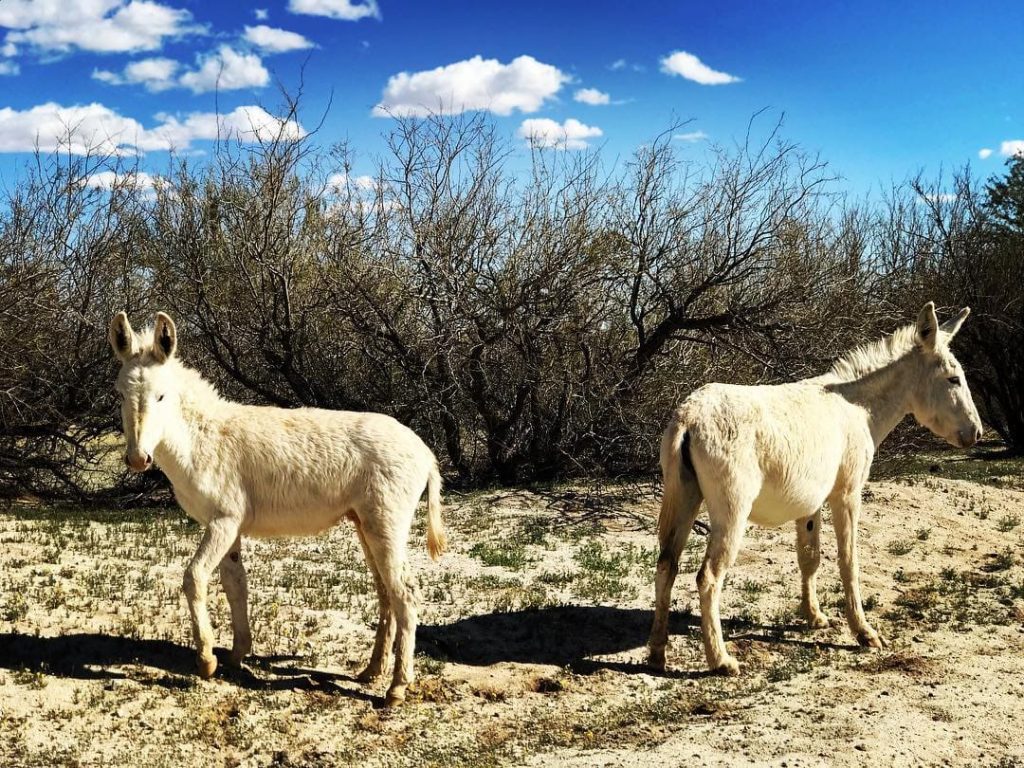
A dry lakebed, the surrounding desert slopes and a spring-fed canyon provide very different habitats. Much of the exposed flat has little vegetation; plants are easier to find around its margins and where water persists.
Observe animals without feeding or approaching them, and leave plants and the salt surface undisturbed. The burro photograph above belongs to the older photo archive; it is not a promise of a wildlife sighting.
Parks near Laguna Salada
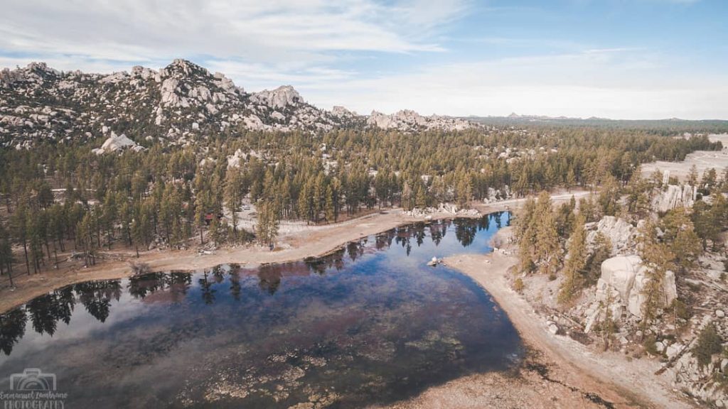
Parque Nacional Constitución de 1857 is a separate mountain destination in the Sierra de Juárez, with Laguna Hanson and surrounding pine woodland. CONANP’s park information places it in the highlands. Plan a separate road journey; a short straight-line distance from Laguna Salada is not a usable driving route.
The wider Colorado River delta also includes the Alto Golfo de California y Delta del Río Colorado biosphere reserve. It is a regional protected area, not a campground attached to Laguna Salada. Check CONANP’s protected-area information for the specific area you intend to visit.
Planning a visit and driving near the lakebed
A dry-looking crust is not proof that a vehicle can cross safely. Researchers describe vehicles becoming stuck in saturated mud beneath a thin salt layer. Use established routes with current local advice, respect access restrictions and avoid crossing the lakebed after rain. A rental SUV alone does not make an unfamiliar route suitable.
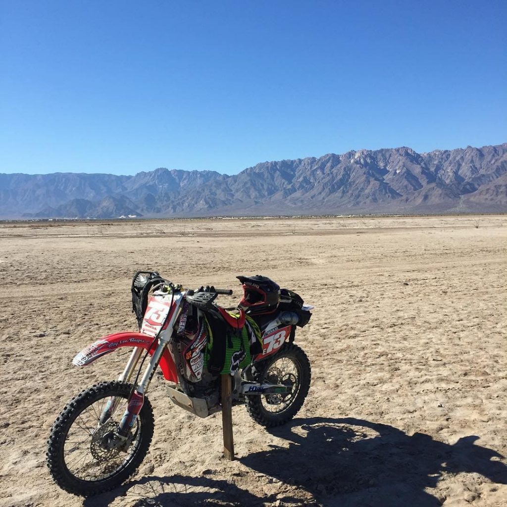
Motorcycling in the Laguna Salada area. Photo by @patogeraldo 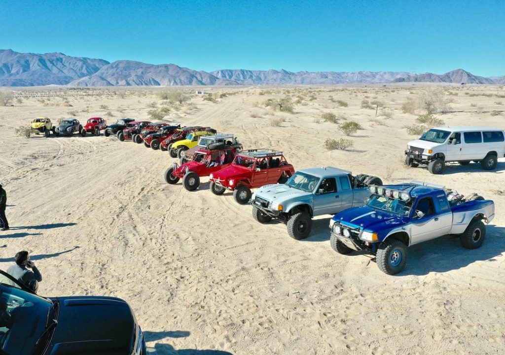
Off-road event photo archive. Photo by @droningbaja 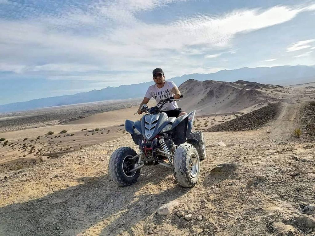
Quad riding photo archive. Photo by @eduardolgodinez 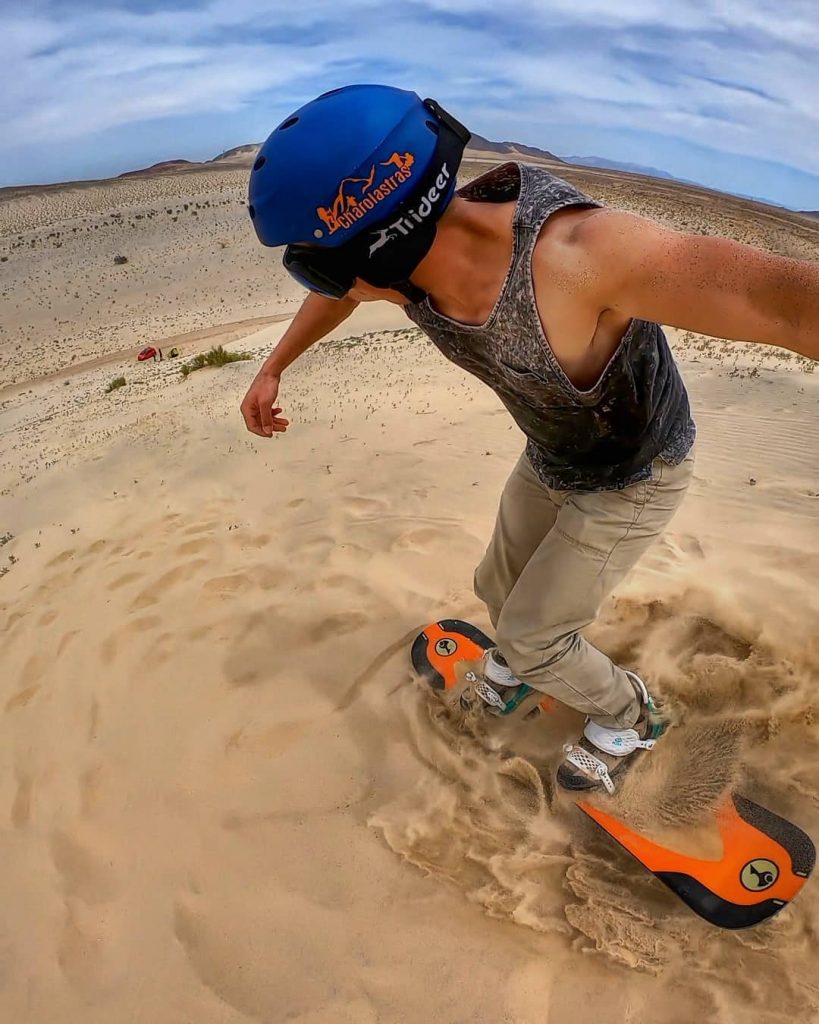
Sandboarding in the surrounding region. Photo by @beltran_villarreal
Carry water, sun protection and a means of navigating without a phone signal. Arrange your return transport before leaving Mexicali, and allow time to get back in daylight. For a remote route, use a local operator who can check access and ground conditions for the day.
Mexicali as a base
Mexicali is Baja California’s state capital and a practical base for accommodation, supplies and transport. In the city, the state tourism board highlights La Chinesca for its Chinese-Mexican history and food. Keep city sightseeing separate from your time on the desert roads.
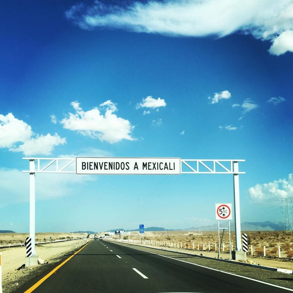
Welcome to Mexicali sign. Photo by @viajerocachanilla 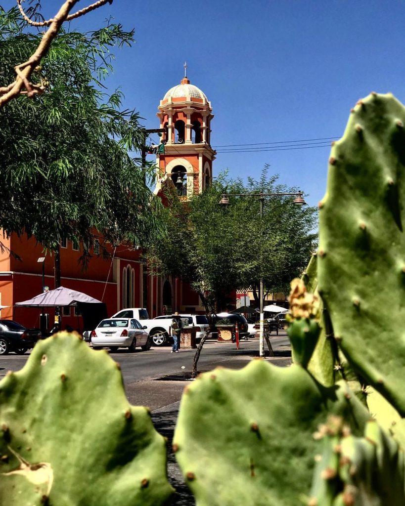
The soul of Mexicali town. Photo by @dclopez11
Where to stay
For a first visit, staying in Mexicali makes it easier to arrange transport and buy supplies. If you prefer Cañón de Guadalupe, confirm the campsite, access road and arrival arrangements directly before travelling. Check the current rate, facilities and cancellation terms with the place you choose.
The best way to get to Laguna Salada
From Mexicali
Federal Highway 2 runs along the northern edge of the basin. Choose your actual destination before leaving Mexicali: a viewpoint, an organised outing and Cañón de Guadalupe require different approaches. Agree the route, waiting time and return trip with your driver or operator. The regional map above is for orientation, not a checked route across the salt flat.
Arriving from elsewhere
If flying to Mexicali, use the airport operator’s information to arrange onward transport. Travellers arriving by road can also use Mexicali as their starting point before heading towards the basin.
Frequently asked questions about Laguna Salada
Is there water in Laguna Salada?
Sometimes. It is an intermittent lake that can be dry or flooded. Historical photographs and maps do not establish its water level today; check recent local conditions before a visit.
Where is Laguna Salada?
In Baja California, Mexico, southwest of Mexicali, between the Sierra de Juárez and Sierra Cucapá. It is different from the salt lakes near Torrevieja in Spain.
Is Laguna Salada below sea level?
Yes. Parts of its floor are roughly 10 metres below sea level. That describes land elevation, not a lake full of water 10 metres deep.
Why is Laguna Salada dry?
Water arrives irregularly and evaporates in the desert basin. River regulation has also changed its historical flood supply.
Did the 2010 earthquake happen at Laguna Salada?
The magnitude-7.2 Sierra El Mayor earthquake struck the region on 4 April 2010. USGS describes a complex rupture within the regional plate-boundary fault system.
What is Cañón de Guadalupe?
A canyon in the Sierra de Juárez with palms and natural hot springs. A visit or camping stay requires separate access and accommodation arrangements.
Can you drive on Laguna Salada?
Do not assume the exposed lakebed is firm. A dry crust can cover wet mud. Use established routes, current local advice and an appropriate operator rather than treating a map line as a safe crossing.


Hello,
You have very interesting and resourceful page! How can I find Reserva de la Biosfera Alto Golfo de California y Delta del Río Colorado accomodations mentioned in your article?
Thank you very much,
Dennis
These are cool since you do virtually nothing along with your yard is definitely crisp and clean and fertilized.
As lawn mower oil can be a hazardous waste, it is very important which you
dispose of it properly (like a waste dumping station) and not
pour it in to the sewer or around the ground. This is an effective approach to stop the mower from starting-up unintentionally.
Would you be interested in salt water crops and a solar water pump to fill laguna salada?